PRISMSCAN Technologies P.C.
Capturing reality.Delivering precision.
High-accuracy civil engineering and 3D scanning services for measured surveys, technical documentation, permitting and project support.
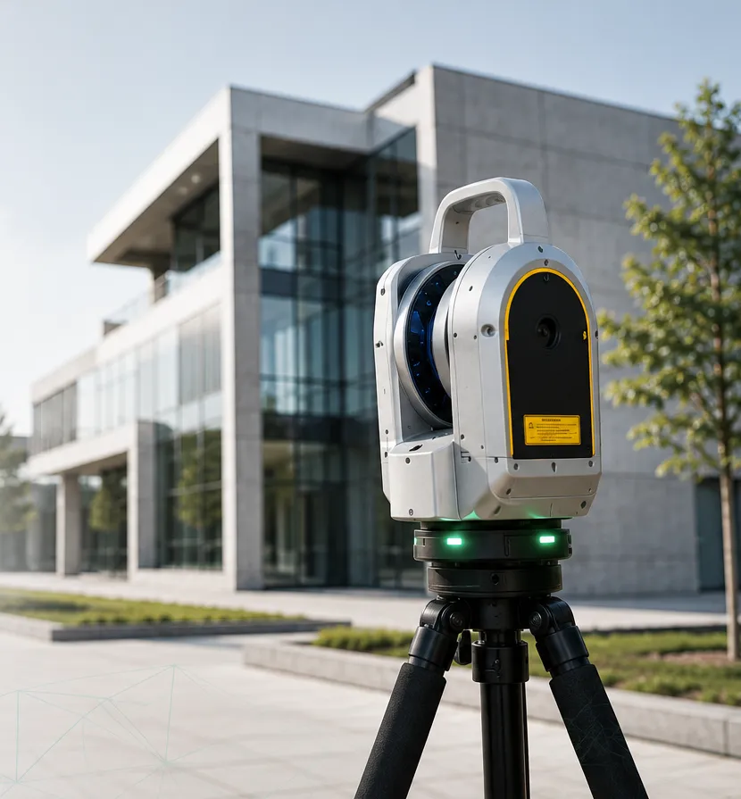
Reality capture workflowField to deliverable
01Scan
02Process
03Deliver
How it works
From the existing condition to usable technical data.
A focused three-stage workflow keeps fieldwork, processing and deliverables connected.
Capture
Site inspection, measurements and reality capture with the appropriate equipment for each project.
Process
Registration, checks, organization and conversion of field data into a consistent technical dataset.
Deliver
Plans, sections, point clouds, technical documentation and files prepared for the required workflow.
Services
Civil engineering and technical support.
Open each service for a concise description. The layout stays compact on mobile while keeping the full scope available.
Building compliance support
Property checks, technical reports, legalization documentation and support for property transfer procedures.
Building permits
File preparation, technical checks, drawings and support for works requiring permitting.
Measured surveys
Existing-condition surveys, floor plans, elevations, sections and production of technical drawings.
Horizontal property documentation
Technical support, area checks, drawings, tables and coordination with notarial procedures.
Property technical due diligence
Review of drawings, permits, deviations, legalizations and required documentation before transfer or development.
Digital documentation
Organization of measurement data, photos, scans and technical deliverables in a clear digital format.
3D scanning
Modern equipment for every scale.
Reality-capture tools selected according to the required accuracy, coverage and final deliverable.
Trimble X9
- High-accuracy building and technical surveys
- Dense registered point clouds
- Suitable for complex geometry and measured documentation
Matterport Pro3
- Photorealistic spatial documentation
- Digital twins and visual project records
- Fast capture for interiors and accessible spaces
SLAM scanning
- Rapid capture of larger and connected spaces
- Efficient documentation of circulation routes
- Flexible point-cloud support for field workflows
Software
Tools for point-cloud and engineering workflows.
PRISMSCAN develops practical software while also contributing a free Windows ARM64 build for the point-cloud community.
From dense 3D data to clear 2D deliverables.
Our software work focuses on point-cloud import, orthoprojection generation and technical workflows that connect field data with CAD documentation.
.e57.ply.xyz.las.laz
Free community release
CloudCompare for Windows ARM64
An independent, digitally signed native ARM64 build for compatible Windows devices.
Contact
Let’s discuss your project.
For civil engineering services, measured surveys and 3D scanning, contact PRISMSCAN directly by phone or email.